Products / Climate Risk Index

Know the risks and where they are.
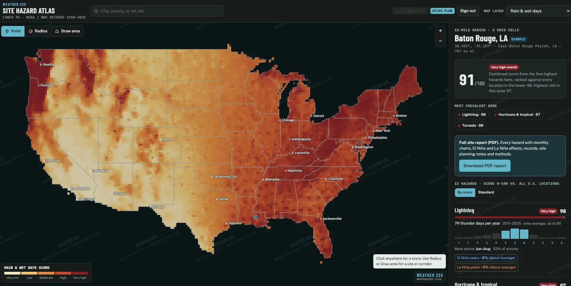
The 225 Climate Risk Index and Site Hazard Atlas score long-term weather hazards for any location in the lower 48, using NOAA and NWS records from 1950 to 2025.
See it in action
A look inside Climate Risk Index.
Click any screenshot to see it full size.
Features
What it does.
01
Site Hazard Atlas
A national map of hazard scores. Click anywhere for a score.
02
13 hazards
Tornado, hail, wind, flooding, hurricanes, lightning, heat, cold, drought, wildfire weather and more.
03
Scores you can compare
Each hazard is scored 0 to 100 against every location in the lower 48.
04
Point, radius or area
Score a single spot, a radius around a site, or a corridor you draw.
05
Seasons and climate cycles
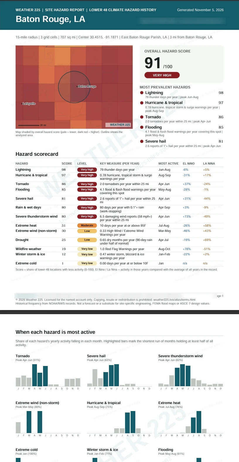
See which months each hazard peaks and how El Niño and La Niña change it.
06
PDF site reports
A full report with every hazard, monthly charts, records and planning notes.
Know the risks and where
Ready to try Climate Risk Index?
Talk to us about access, pricing and a walkthrough for your team.
The suite